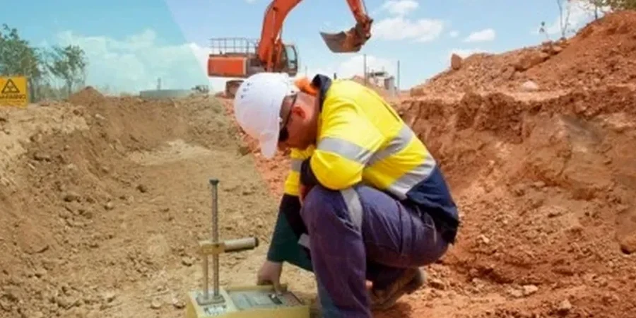
Seismic microzonation in Tralee follows the framework of Eurocode 8 (EN 1998-1:2004), with site-specific studies aligned to NSAI recommendations and Geological Survey Ireland (GSI) datasets. Tralee sits on a complex foundation of Carboniferous limestone overlain by glacial tills and alluvial deposits along the River Lee basin, creating sharp contrasts in shear-wave velocity across short distances. Our team runs the laboratory testing phase — bender elements on undisturbed samples, cyclic triaxial, and resonant column — to feed the Vs30 profiles that underpin ground response analysis. We do not write the hazard report ourselves; we supply the dynamic soil parameters that licensed engineers use to build the microzonation maps for planning and structural design. For projects near the Slieve Mish foothills or within the town centre floodplain, understanding how soft clays amplify motion at specific periods matters more than a generic regional hazard curve. We have processed samples from boreholes across Tralee and seen how peat lenses in the townland of Ballyard produce amplification factors that deviate substantially from bedrock reference motions. When the stratigraphy gets complicated, we often recommend complementary field testing such as MASW to constrain the shallow Vs profile before sampling for lab dynamics, or a CPT campaign to map the lateral extent of soft zones without disturbing the fabric of sensitive silts.
Two kilometres can separate a Eurocode 8 type B site from a type D in Tralee — same town, entirely different spectral demands.
Frequently asked questions
What does a seismic microzonation study cost in Tralee?
A laboratory testing programme supporting a microzonation study in Tralee typically falls between €4,180 and €13,160, depending on the number of samples and the test types required. A basic package with resonant column on six samples and supporting index tests sits at the lower end; adding cyclic triaxial at multiple confining stresses, bender elements, and a larger sample set pushes toward the upper range. We provide a fixed-price quotation once the borehole plan and target parameters are defined.
Which Eurocode 8 site class applies to my site in Tralee?
It depends on the Vs30 value and the stratigraphy below your site. North Tralee often falls into class B (dense glacial till), while the floodplain and areas south of the River Lee can be class D or E where soft alluvium and peat exceed three metres. The only way to confirm the class is through field shear-wave measurements and laboratory dynamic testing on samples from your specific borehole.
How many borehole samples are needed for a reliable microzonation?
For a single site, we typically recommend undisturbed sampling at three to five depths within the top 30 metres, with at least one sample per distinct lithological unit. For a neighbourhood-scale microzonation map covering several townlands in Tralee, the borehole grid and sample count are designed by the consulting engineer based on the spatial variability observed in the Geological Survey Ireland Quaternary mapping and any prior site investigation data.
Do you perform the ground response analysis or just the lab testing?
We focus on the laboratory measurement of dynamic soil properties — shear modulus, damping ratio, and shear wave velocity. The ground response analysis (DEEPSOIL, PLAXIS, or equivalent) is carried out by the consulting engineer using our test curves as input. We work closely with the design team to ensure the lab data format matches the requirements of the analysis software.
Is liquefaction a real risk for construction in Tralee?
Tralee is in a low-to-moderate seismicity region under the NSAI National Annex, so classic liquefaction of sands is unlikely for the design return periods typically considered. However, cyclic softening of loose saturated silts in the River Lee floodplain is worth evaluating for critical structures. Our cyclic triaxial programme can generate pore pressure curves to help the engineer decide if ground treatment is needed.